Post World War I Europe & Africa 1920 large 4' folding map with index & envelope
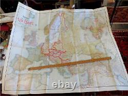
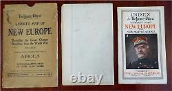
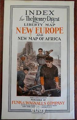
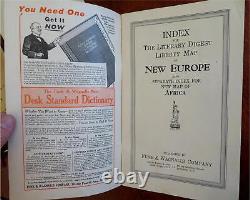

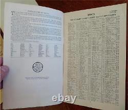
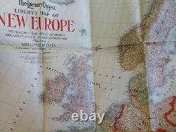
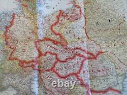
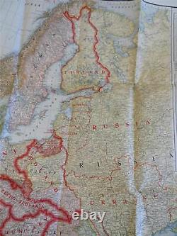
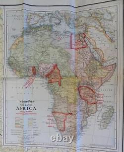
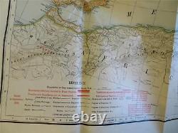
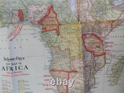

(Old Maps, Early 20th Century Maps, World War I, Europe, Africa). Published 1920, New York by Funk & Wagnalls Company. Large folding map printed on bond paper. Includes 44 page index and original paper envelope.
Publisher's pictorial paper wrappers. A huge transitional map, over four feet wide. Overprinted to show political boundaries that were changed and adjusted after WW I ended.
Lot is not new or in "new" condition. Paper is gently toned, internally still clean, tight, sound internally. Still attractive on the shelf.
The book displays a pleasing and unique age patina and is in overall nice antiquarian condition, any age flaws which may be present seem easy to overlook or forgive. Please review photos for more detail showing how this book survives. The asking price reflects the condition based on our examination and 35+ years full time exposure to antiquarian books, maps and printed ephemera of all types and genres. Flaws seen and/ or described have been taken into account.
11" H x 7" W. 10" H x 6" W. Post World War I Europe & Africa 1920 large 4' folding map w/ index & envelope. Southeast Asia Philippines Siam Sumatra 1811 John Cary lovely large old map. France coast Road of Toulon coastal old map 1790's John Cary lovely example. World map shewing Capt Cook tracks c. Asia Company's Land outline shown 1796 Doolittle scarce American engraved map. Zuider Sea Northern Netherlands Holland 1737 old antique color map. Spain insets Lisbon Madrid Cadiz 1856 Weiland huge old engraved map hand colored. Egypt Saudi Arabia 1849 Meyer map Mountains of the Moon shown. Ancient Greece Women in Greek Art 1901 Notor fine leather book illustrated LMT'D. Europe ethnic hand color plates of natives 1828 Adams Voyager Travel book. Foreign-Born compared to Aggregate Population 1898 U. Meissen Germany panorama 1590's Munster old wood cut city panorama view.Champollion Rosetta Stone Ancient Egypt 1842 France Royale rare litho plates. Egypt North Africa Nile Red Sea 1804 Tardieu scarce map. North & Sound Carolina Charleston city plan 1887 Mitchell Bradley large old map. Benjamin Disraeli Earl Beaconsfield 1882 leather books set 11 vols beautiful.
Germany Mahren Moravia 1854 Biller Brunn inset Olmutz Troppau old map. Germany divided into circles Silesia Bohemia Saxony 1730 Moll beautiful old map.
Finland Baltic Scandanavia 1855 E. Arabian Peninsula 1748 Vaugondy engraved miniature map. Norfolk County Massachusetts 1888 large detailed map. All items are sent well-packed to arrive as you see them.
Maps and prints are sent either rolled in sturdy 3-inch-wide tubes or, if small, in a rigid cardboard mailer. This item is in the category "Books & Magazines\Antiquarian & Collectible". The seller is "oldmapsoldbooks" and is located in this country: US. This item can be shipped worldwide.
